Reimagining Manila: A Future with Less Traffic
2023

Imagine a Manila where the city's heartbeat isn't echoed by the constant blaring of car horns, but resonates with the rhythmic hum of an efficient and interconnected transportation network.
In this vision, the streets are no longer chokepoints filled with idling vehicles and frustrated commuters. Instead, they're the arteries of a thriving city, facilitating a seamless flow of people and energy.
Royal College of Art
MA Service Design
In this vision, the streets are no longer chokepoints filled with idling vehicles and frustrated commuters. Instead, they're the arteries of a thriving city, facilitating a seamless flow of people and energy.
Royal College of Art
MA Service Design
As a Master's student pursuing a degree in Service Design, I had the chance to enroll in an elective course in Intelligent Mobility. I never really cared for cars. I like cities where public transportation is so good that you don’t need to have private vehicles. But I wanted to take the Intelligent Mobility elective because I wanted to tackle a problem. I wanted to focus on traffic in Manila.

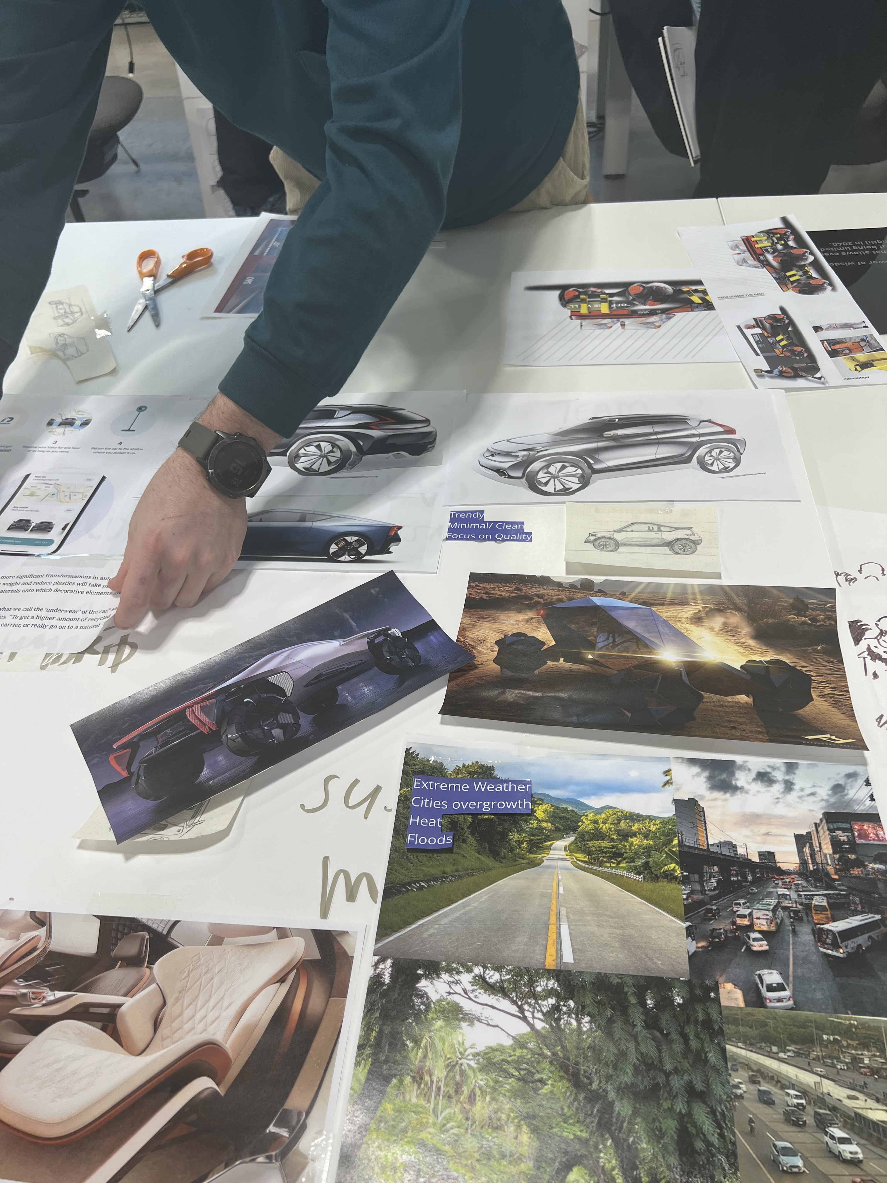
My goal was to develop practical and sustainable strategies that effectively tackle transportation challenges in urban areas.
Let’s start by looking at the experiences of three commuters in Manila named Juan, Sofia, and Luis. Each of them represents a different group of commuters, and we want to understand the challenges they face. To do this, we gather information from several sources, including surveys, public transport records, and traffic reports.


Juan's Journey:
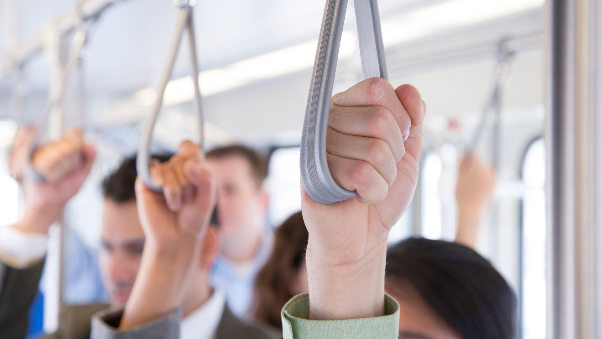
Juan is a young professional who commutes to work using public transportation. He experiences long waiting times at bus stops due to inconsistent bus schedules. Sometimes, overcrowded buses pass by, leaving him with no choice but to wait for the next one. During peak hours, the traffic congestion adds even more time to his commute, making him late for work. The lack of reliable transportation options negatively impacts his productivity and leaves him feeling stressed.
Pain Points: Inconsistent bus schedules, overcrowded buses, and traffic congestion lead to reduced productivity and stress.
Sofia's Journey:
Sofia is a college student who relies on public transportation to attend classes. She often has to switch between different modes of transport, such as buses and jeepneys, to reach her destination. The lack of integration between these modes results in long transfer times and increases the likelihood of missing connections. This constant struggle with the transportation system affects her punctuality and academic performance.
Pain Points: Lack of integrated transportation, long transfer times, and missed connections affect punctuality and academic performance.

Luis's Journey:
Luis is an eco-conscious individual who chooses to cycle to work whenever possible. However, he faces significant challenges as the city lacks dedicated cycling lanes and safe biking infrastructure. Navigating through heavy traffic poses risks to his safety, and finding secure parking spots for his bicycle is a constant concern.

Pain Points: Lack of dedicated cycling lanes and safe biking infrastructure, risking the safety of cyclists, and inadequate bicycle parking facilities.
By considering these pain points, we can begin to examine data and possibly evaluate alternative solutions from other industries. Successful traffic management involves many different factors.
Government agencies can develop policies that prioritize eco-friendly travel options and public transportation. Transportation providers should strive to provide reliable and efficient services that meet the needs of commuters. Urban planners can also contribute by integrating various transportation modes into the city's infrastructure to create a seamless system.
Here are a few examples:
1. Traffic Congestion Surveys and Studies: Conducting surveys among drivers can help understand the peak traffic times, the most congested routes, and the average time spent in traffic. Studies can also be done on the effects of already implemented measures like congestion pricing or high-occupancy vehicle (HOV) lanes in other cities or countries.
2. Public Transportation Usage Data: Data from public transportation agencies can provide insights into current usage patterns, including frequency, peak times, and common routes. Surveys among users can also help understand their challenges and what improvements they would like to see.
3. Cycling and Walking Surveys: Surveys among cyclists and pedestrians can provide data on how often people use these modes of transportation, what challenges they face, and what improvements could encourage them to use these methods more often.
4. Electric Vehicle Adoption Rates: Data from vehicle registration agencies can show the current rate of electric vehicle adoption. Surveys among electric vehicle owners can help understand their motivations, while surveys among the general public can help understand what barriers exist to wider adoption.
5. Residential and Commercial Proximity Data: Data on the proximity of residential areas to commercial and recreational areas can help understand commuting patterns. This can show how effective mixed-use development policies have been.
6. Public Awareness Surveys: Surveys before and after public awareness campaigns can show how effective these campaigns have been in changing public behavior and attitudes towards public and eco-friendly transportation.
Gathering data over time can offer valuable insights into current behavior and attitudes, and help measure the effectiveness of policies. This information can validate assumptions and guide future transportation and urban planning decisions.

Collaboration is also crucial in creating a sustainable transportation network in Manila. To achieve this, it's essential to establish partnerships between key stakeholders such as government agencies, transportation providers, and urban planners. Each entity can contribute their unique expertise and perspective, increasing the probability of creating impactful and long-lasting change.
FUTURE VISION
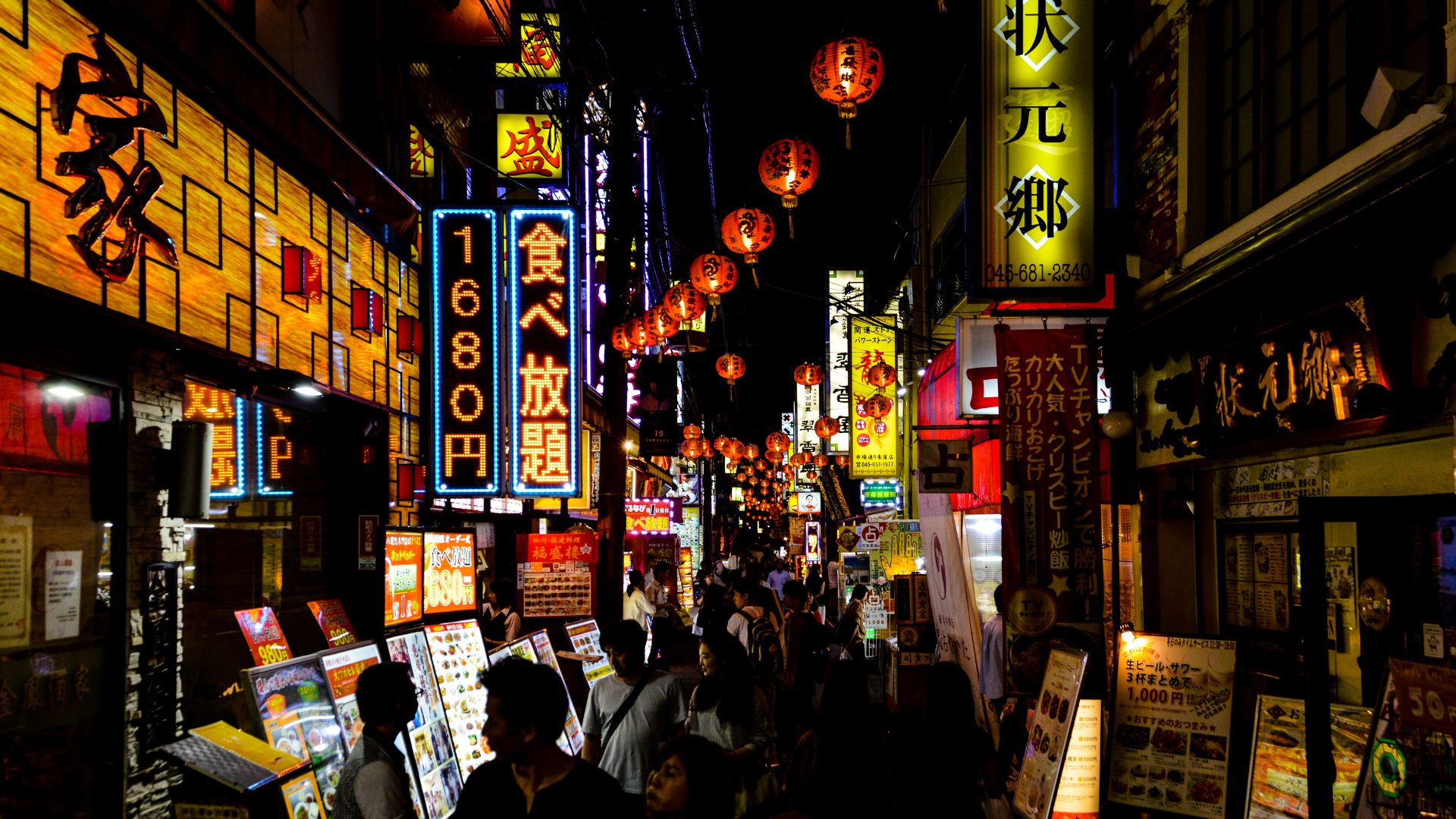
Now, envision a future where the city's urban spaces like Intramuros and Binondo transform into car-free zones, buzzing with pedestrians exploring cultural heritage or enjoying eco-friendly transport options like e-scooters.
Imagine the Pasig River, once a critical transport route, being revitalized as a picturesque alternative to road travel with efficient ferry services. And think of Manila's congested roads dynamically managed using AI and real-time data, where lanes allocated to buses during peak hours switch to serve private vehicles during off-peak hours.
Car-Free Zones: A Breath of Fresh Air in Manila
Urban car-free zones have been successful in many cities worldwide, reducing traffic congestion and pollution while creating a more pedestrian-friendly environment. In Manila, implementing car-free zones in selected areas could revolutionize urban spaces and redefine the commuting experience.
Consider the busy streets of Intramuros or Binondo, two of the oldest districts in Manila. Transforming these areas into car-free zones could allow residents and tourists to explore the rich cultural heritage on foot or via eco-friendly options such as bicycles or e-scooters. The reduced traffic and pollution would enhance the overall urban experience, offering spaces for leisure, recreation, and social interaction.
Floating Public Transport: Riding the Waves of Innovation
Manila's location on the eastern shore of Manila Bay presents an unconventional solution for public transportation – water-based transport systems. By introducing efficient and regular ferry services, we could utilize the city's natural geography to ease road congestion.
The Pasig River, which winds through the city, was once a major transport route. Revitalizing it as a waterway for public transport could provide a picturesque, efficient, and enjoyable alternative to road travel. Floating transport could bring about a significant shift in the city's mobility dynamics, tapping into a largely underutilized resource.

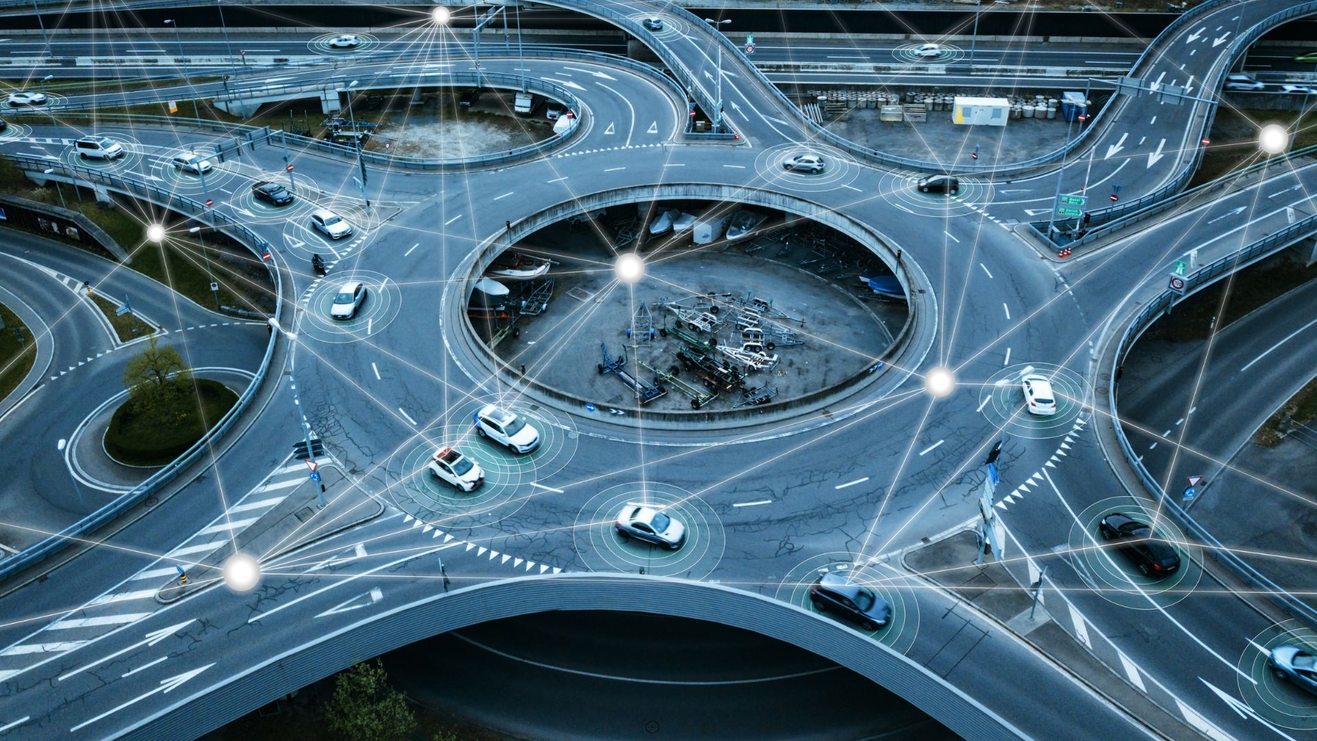
Dynamic Road Use Management: A Fluid Approach to Traffic Management
With the aid of Artificial Intelligence (AI) and real-time traffic data, Manila could implement dynamic road use management. This system would allow the city to adapt road functions based on real-time needs, optimizing road use efficiency.
For instance, during peak hours, more lanes could be allocated to buses to accommodate the surge in public transport demand. In contrast, during off-peak hours, these lanes could be made available to private vehicles. This dynamic approach could significantly improve traffic flow and decrease congestion, making road use equitable and efficient.
Taking this intelligent mobility elective has not only expanded my knowledge and skills but also deepened my commitment to improving the lives of Manila's commuters.
I envision a Manila where traffic isn't a daily ordeal, but a well-orchestrated dance of diverse yet interconnected transportation modes, taking us closer to a future where Manila isn't synonymous with traffic, but with innovation and progress.
